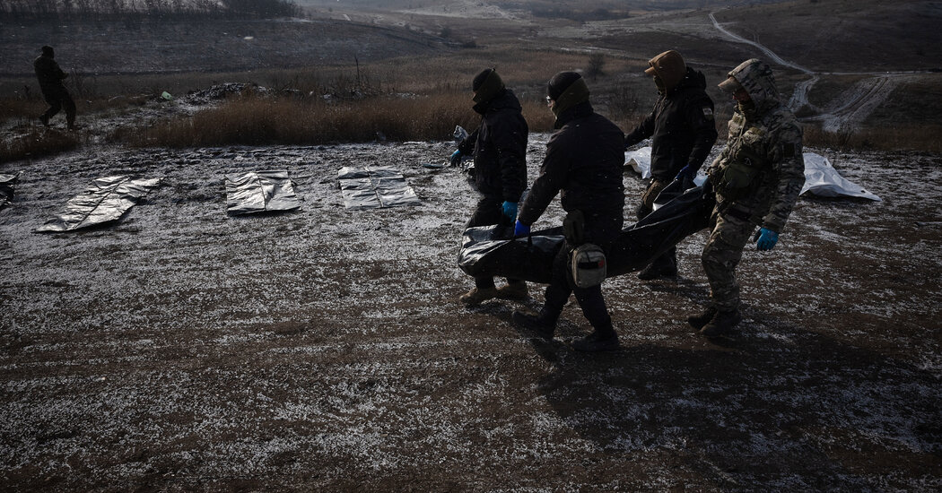
After a quiet start to May, the atmosphere over the central United States erupted with tornadoes, giant hail and dangerous winds this weekend, and the threat is primed to peak Monday.
The day could bring the most dangerous round yet in a volatile stretch of severe thunderstorms that has been unfolding across the Plains and Midwest. The outbreak is expected to last through Tuesday, bringing the risk of intense tornadoes — EF3 or stronger — destructive hail, damaging winds and heavy rain to a region where spring’s most dangerous storms often arrive with considerable force.
May is notorious for severe thunderstorm outbreaks in the Plains and Midwest, and this one could live up to that reputation. This is a big shift from what has been a quiet start to the month, because of a jet stream pattern that has suppressed widespread severe storms until now.
The weather pattern is also setting the stage for wildfires. There’s significant fire risk in the Southwest from Arizona to southwest Kansas — we’ll walk through some details on that threat after we talk about the timing for severe storms below.
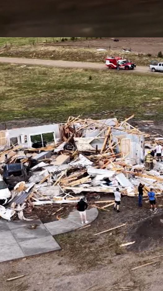
Storms rapidly developed Sunday afternoon from Kansas through Nebraska and Iowa to southern Minnesota, packing hail larger than baseball size and strong tornadoes. A level 3 of 5 threat for severe thunderstorms stretched across much of America’s heartland.
Continue reading the complete article on the original source